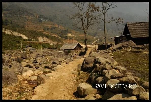
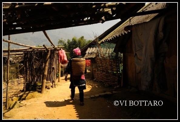
Ninh Binh, North Viet Nam.
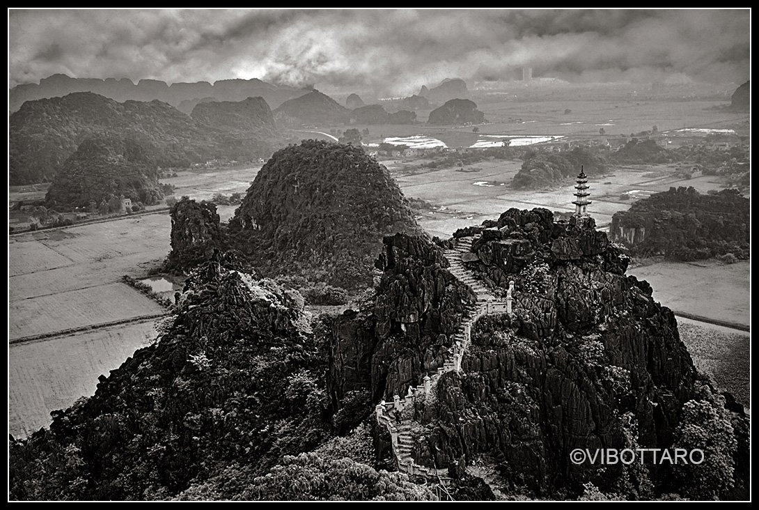
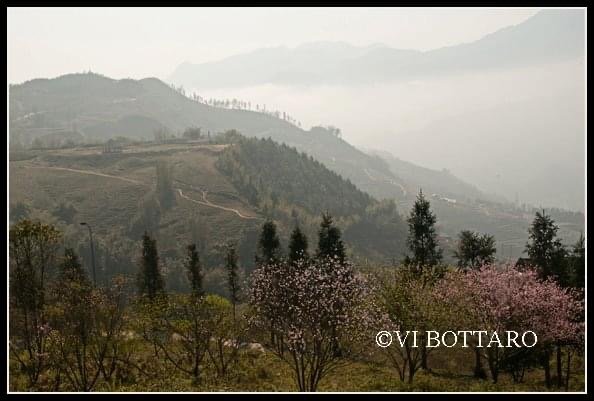
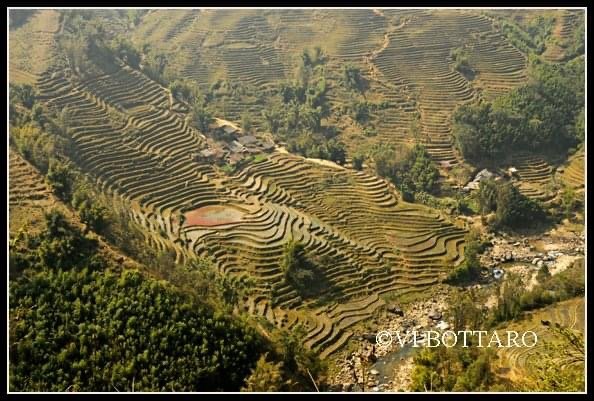
Located about 90 km south of Ha Noi, Ninh Binh Province of North Viet Nam is a spectacular landscape of limestone karst peaks permeated with valleys, many of them partly submerged and surrounded by steep, almost vertical cliffs. Exploration of caves at different altitudes has revealed archaeological traces of human activity over a continuous period of more than 30,000 years. They illustrate the occupation of these mountains by seasonal hunter-gatherers and how they adapted to major climatic and environmental changes, especially the repeated inundation of the landscape by the sea after the last ice age. The story of human occupation continues through the Neolithic and Bronze Ages to the historical era. The area contains temples, pagodas, paddy-fields and small villages. There are about 14,000 residents, the majority of whom are families involved in subsistence agriculture, but much of the area is uninhabited and in a natural state. In 2014, Trang An Landscape Complex in Ninh Binh was inscribed on the list of UNESCO World Heritage Sites. Ninh Binh is my birthplace.
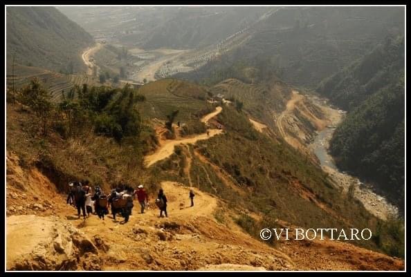
I’ve always wondered why monks and priests always built their monasteries and temples way up in the sky. Is it because they want to live close to heaven or because they want to get away from people? On one of my photographic workshops, we climbed up 500 steep stone steps to a temple in Ninh Binh to get this bird’s eye view of the area.
